Seiser Alm Bahn: Via Sciliar, 39, 39040 Siusi BZ, Italië
Plateau Bullaccia | rondwandeling: 3.5 uur
Makkelijk
Mountain hiking in the Dolomites
An introduction to the Seiser Alm, Dolomites
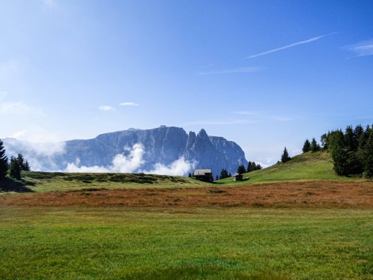
The 'Seiser Alm' is the largest mountain pasture in Europe and is located in the middle of the Dolomites. After we bought a hiking map of Kompass (nr. 067, scale 1:25000) for the area at the camping store at camping 'Seiser Alm', we got in touch with the camping owner. From the campsite you have a beautiful view of the pointed peaks of the mountain 'Schlern', or 'Monte Sciliar'. We asked for advice on the map about the best hiking route to that mighty rocky peak so high above us. However, the campsite owner gave us as a tip to first hike the Puflatsch plateau. From there you have a beautiful view of the Schlern but make much less altimeters, a good way to walk in.
How to get there? - Seiser Alm Bahn
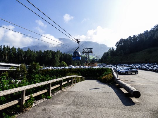
The mountain hike on the plateau can be reached in two ways from 'Seis am Schlern', the village on the spot. Walking, or with the cable car that aptly takes you to the Seiser Alm Bahn. We chose the second option on this first day. You can park for free at this cable car. Make sure you don't park just anywhere. If you park the wrong way, you will receive a voucher of €100! However, the parking spaces speak for themselves and it is almost difficult to park the wrong way.
For €18 you buy a return cable car downstairs and after 20 minutes you're upstairs. Please note: if you only buy a one-way ticket upstairs and later you find out you want to take the Bahn back, you pay an extra 13 euros upstairs instead of 9 euros.
Your mountain hike over the plateau starts at 1844 meters and is well signposted with signs indicating route 14.
Walking in the mountains to the Arnikahütte on the Seiser Alm
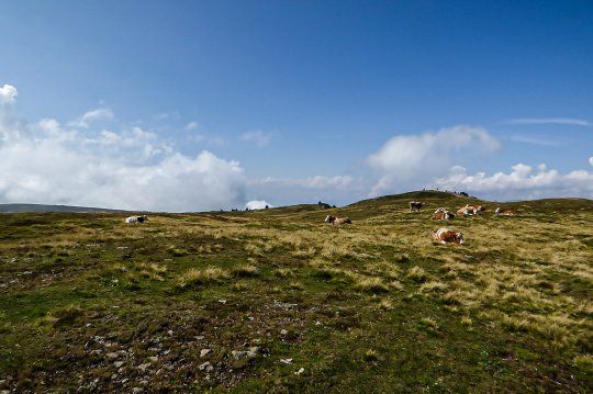
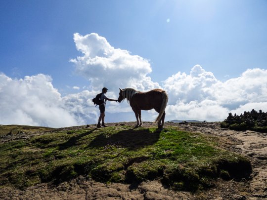
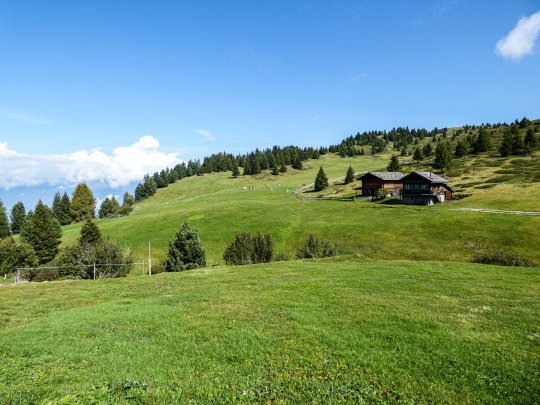
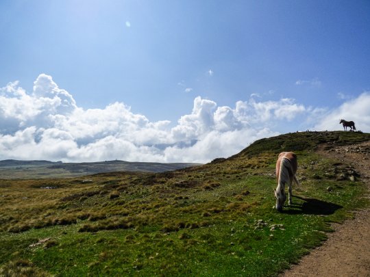
At the beginning of the route it is a bit of a climb but very easy to do. After that you walk mostly on a flat path with occasional small climbs or descents. The landscape is very friendly and certainly suitable for children. Along the way we came across beautiful horses and clinking cows. A very friendly valley landscape with lots of grass, this plateau. We even saw someone with a mobility scooter cruising through the grass.
After about an hour of walking on a clearly marked path along the edge of the plateau, you arrive at the Arnikahütte. In the Arnikahütte we took an 'Apfelstrudel mit Zahne' (60% of the Italians in Seiser Alm speak German as their main language).
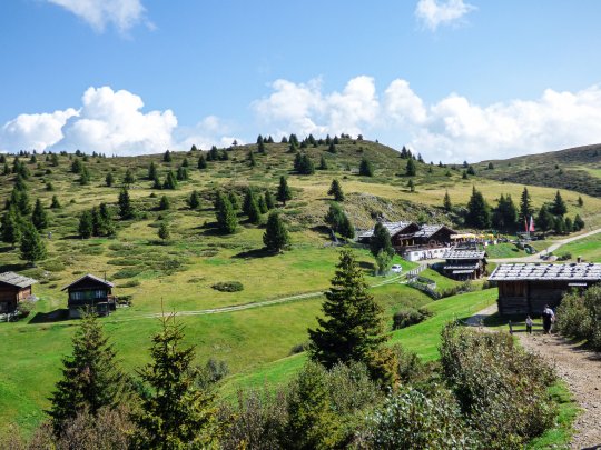
After the Apfelstrudel we decided to extend walk nr. 14 with walk nr. 24. This allows you to walk around the whole plateau. The other option is to cross from the Arnikahütte as well, so actually take a short cut across the plateau. For this last route keep following route no. 14.
However, the rest of the plateau still offers beautiful views, more cows and huts to have a drink. As the hike is very easy to do, we definitely recommend you to extend the route with nr. 24. Also if you follow this one you will come out again at the end.
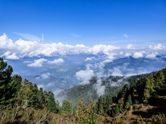
In total it took us 3.5 hours. Komoot indicates a movement time that is a bit lower, this is because we regularly enjoyed the view of the Dolomites and the attention of the cute alpine cows. In short, a nice easy hike for the whole family and a good start of a week of hiking in the mountains!
Hiking routes|Tips and numbers
routenumbers 14 & 24
For this hike in the mountains it is best to start at the top of the Seiser Alm Bahn cable car. From there follow hiking trail 14 across the Plateau. If you want to walk the whole Plateau you can extend the route with route 24. From the Puflatsch hut you can also take the last part of the mountain hike number 14a, along Tschötsch Alm.